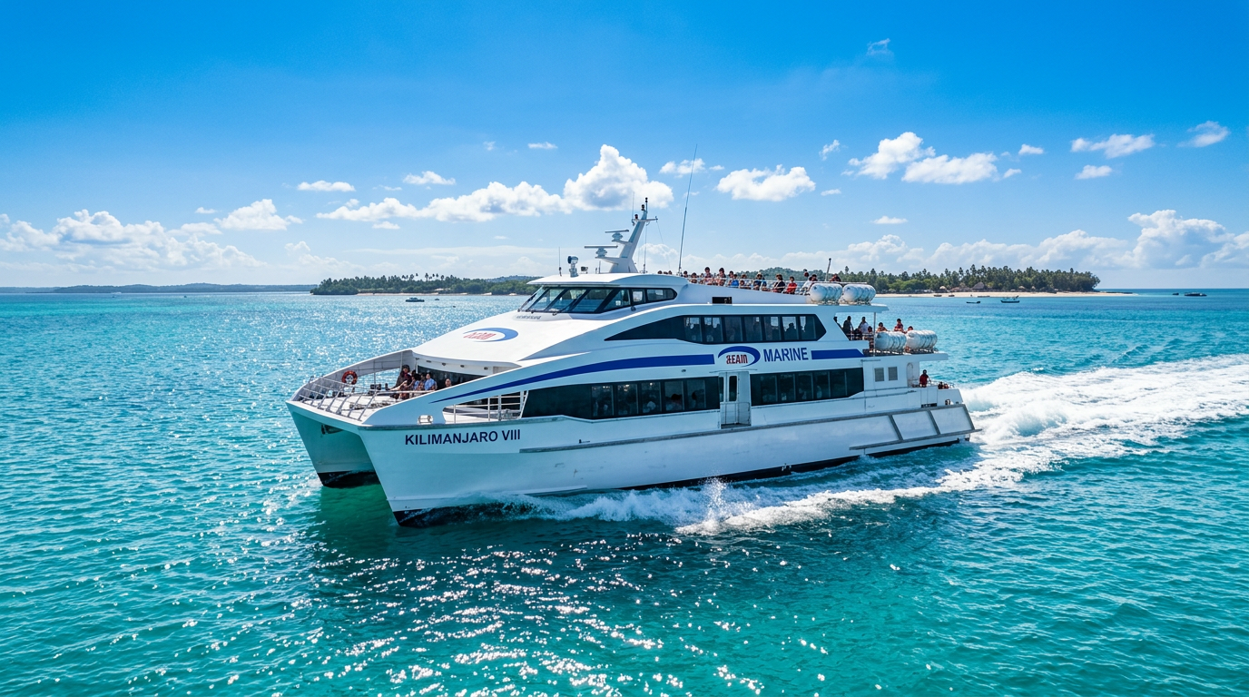
Know Your Vessel.
Master Your Route.
OceanAxis turns raw engine, fuel, and trip data into decisions that cut costs and grow margin — built for East Africa's ferry operators.
The Challenge. The Solution.
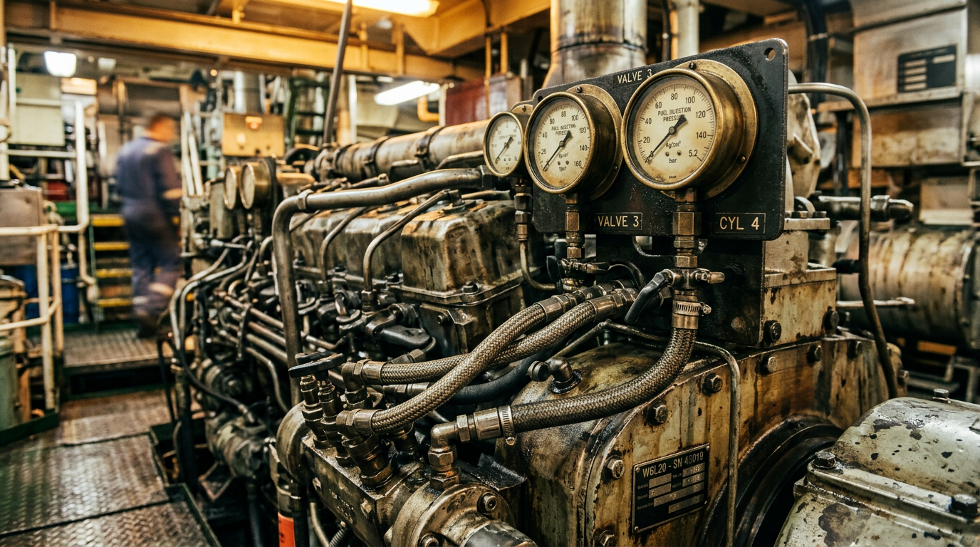
The Problem
Fuel theft, unplanned breakdowns, and ghost passengers are draining East African ferry operators.
No visibility = no control.
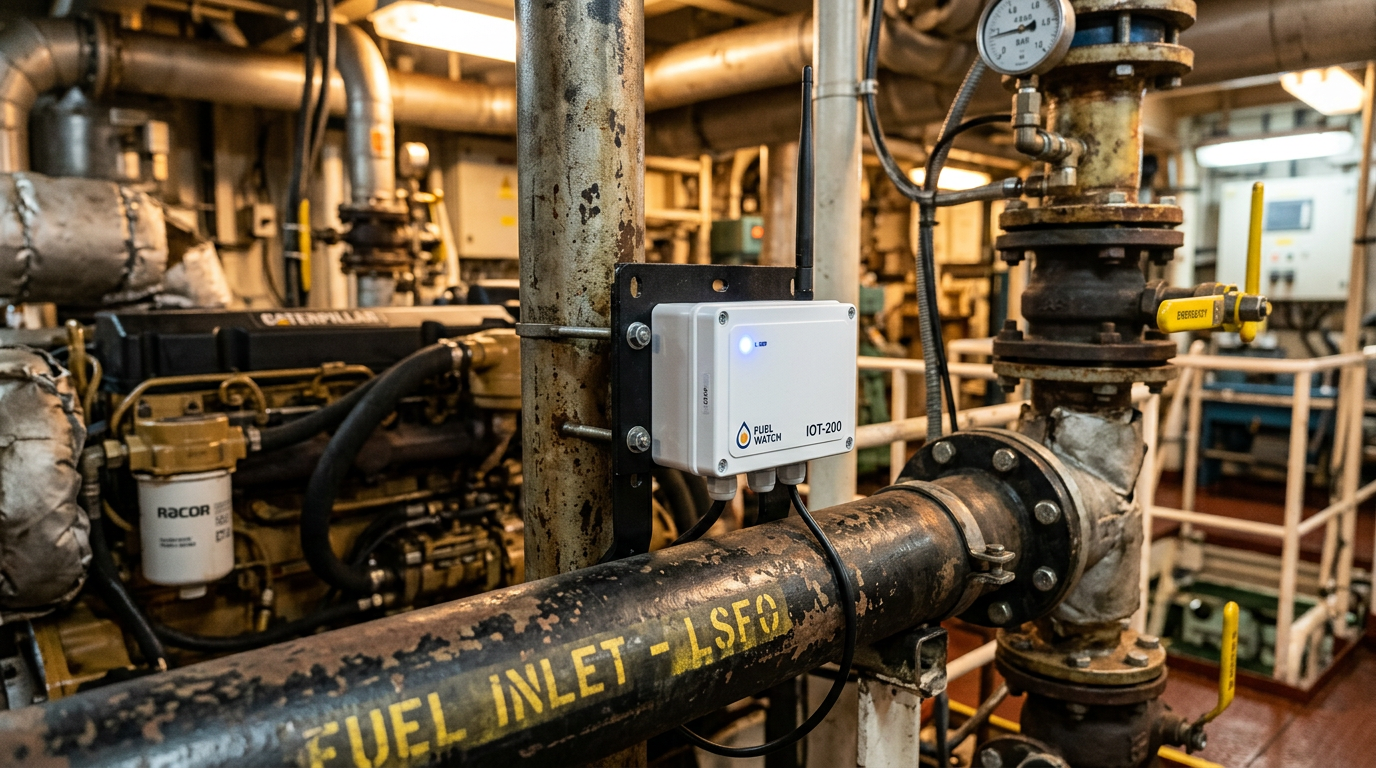
The Solution
OceanAxis installs precision sensors on your vessel. Every litre of fuel, every engine hour, every passenger trip — timestamped, reconciled, and uploaded automatically.
Offline-resilient: stores up to 11 days of data locally and syncs when connectivity returns.
How It Works
Install
Precision sensors fitted to fuel lines, engines, and access points. Non-invasive, no dry-dock required.
Collect
Device logs pulse counts, temperature, RPM, and analog sensor data every 60 seconds. Works offline; syncs automatically.
Analyse
OceanAxis dashboard reconciles fuel-to-voyage, flags maintenance exceptions, and surfaces route-level profitability.
Act
Crew leaderboards, management alerts, and evidence-grade reports drive real behaviour change.
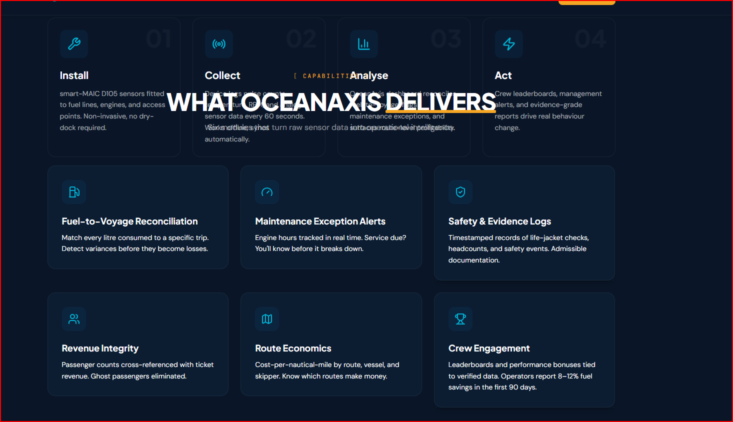
What OceanAxis Delivers
Six modules that turn raw sensor data into operational intelligence.
Fuel-to-Voyage Reconciliation
Match every litre consumed to a specific trip. Detect variances before they become losses.
Maintenance Exception Alerts
Engine hours tracked in real time. Service due? You'll know before it breaks down.
Safety & Evidence Logs
Timestamped records of life-jacket checks, headcounts, and safety events. Admissible documentation.
Revenue Integrity
Passenger counts cross-referenced with ticket revenue. Ghost passengers eliminated.
Route Economics
Cost-per-nautical-mile by route, vessel, and skipper. Know which routes make money.
Crew Engagement
Leaderboards and performance bonuses tied to verified data. Operators report 8–12% fuel savings in the first 90 days.
Intelligence at a Glance
Reconcile fuel to every voyage. Detect variance before it becomes loss.
Dar-Zanzibar route data — variance detection flags overspend voyages in real time.
Fuel Judged by Load
Every other tool tracks how much fuel you burned. OceanAxis tracks how much you burned for the load you carried — the measure that actually tells you whether a voyage was efficient.
The metric competitors don't offer ferries
Fuel per passenger-nautical-mile
By combining verified fuel data with real-time load, OceanAxis exposes the true cost of moving each passenger — normalized so a full boat and a light one can finally be compared fairly.
Real-Time Load Sensing
Hull-mounted pressure sensors continuously measure draft and translate it into vessel displacement — so you know the real load on every voyage. Fully automatic, no crew input, and it keeps logging offline.
Load-Normalized Efficiency
A heavy, full ferry burns more fuel than an empty one — so raw litres-per-trip lie. OceanAxis judges every voyage on fuel per passenger-nautical-mile, normalized for how loaded the vessel actually was.
AI Draft-Mark Reading
Camera-based reading of hull draft marks to verify load with sub-percent accuracy. This is an emerging technology — not yet standard for ferries — that we are developing as a future audit and cross-check layer.
90-Day Pilot: Prove It on Your Vessel
We install OceanAxis on one anchor vessel, establish your baseline, and deliver a verified savings report in 90 days. No long contracts. No upfront risk.
Decision-Support, Not Tracking
OceanAxis is a decision-support and evidence platform — not a tracking system. We give operators the data they need to manage fuel, maintenance, safety, and revenue with confidence.
Apply for the Pilot
Fill in your details and we'll get back to you with next steps.